Rapid Subsurface Profiling Solutions
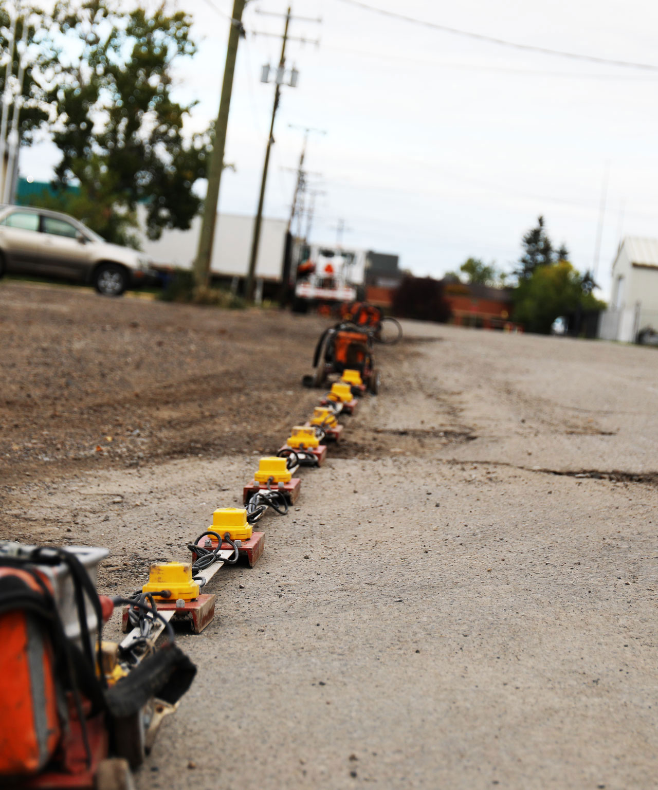
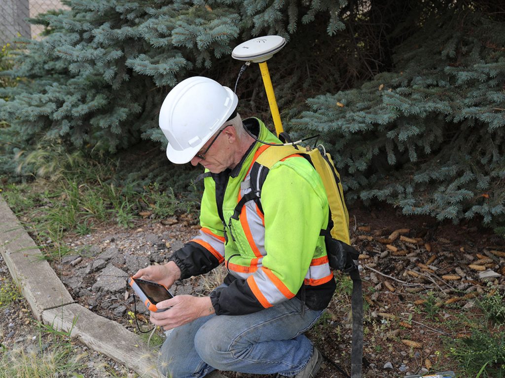
At Echo Geotech, we understand the critical need for comprehensive subsurface data before you start drilling, digging, or loading your site. That’s why we offer a powerful solution: non-intrusive, rapid, and cost-effective subsurface profiling using our cutting-edge Land Streamer technology.
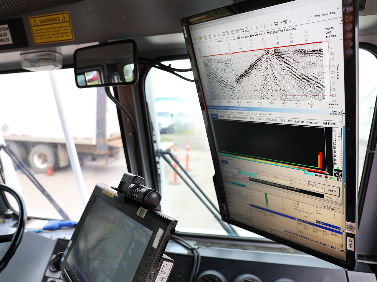
Land Streamer goes beyond traditional methods, providing high-resolution seismic insights that reveal the complexities hidden beneath the surface. We seamlessly integrate this data with existing drill holes and cone penetration tests (CPT) to create a complete picture, eliminating knowledge gaps and validating our interpretations.
This innovative approach mitigates risks and costs associated with unforeseen subsurface hazards, empowering informed decisions for your geotechnical, mining, and water resource projects.
We offer a powerful solution:
Non-intrusive, rapid, and cost-effective subsurface profiling using our cutting-edge Land Streamer technology.

Our innovative multi-component land streamer system utilizes cutting-edge techniques to extract a wealth of subsurface data in a single pass. This translates to clear, decision-ready images that empower informed choices for geotechnical, mining, and water resource projects.
Mining
Water Resources
Build Your Career in Geotechnical Innovation
At Echo Geotech, we’re a team of passionate professionals dedicated to pushing the boundaries of geotechnical services. We share a wealth of knowledge and experience, and we’re always looking for talented individuals to join our journey of continuous growth.
Ready to take the next step?
Let’s build something great together.